Map Project
Methodology behind the map
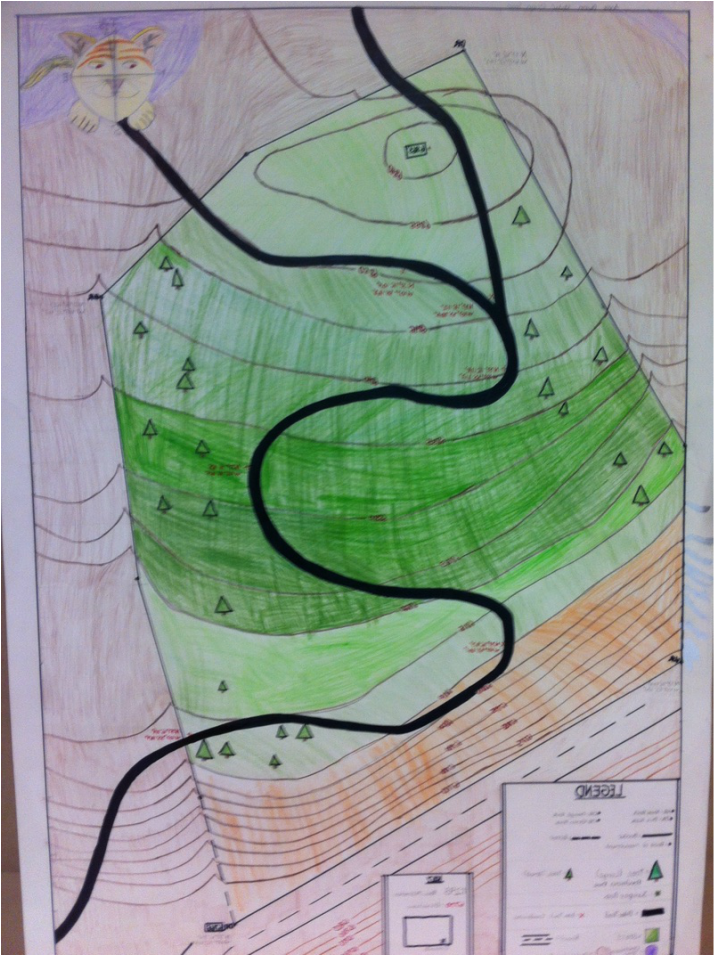
The first thing we did was we measured the points between the four rocks by pace. We counted how many paces and at what degree from one rock to the next. We then converted paces to millimeters on our map and used a protector for the degrees. We were able to see terrain from a birds eye view and then used the elevation to place the contour lines. This project helped us to see how space is related on a map.
